Overview
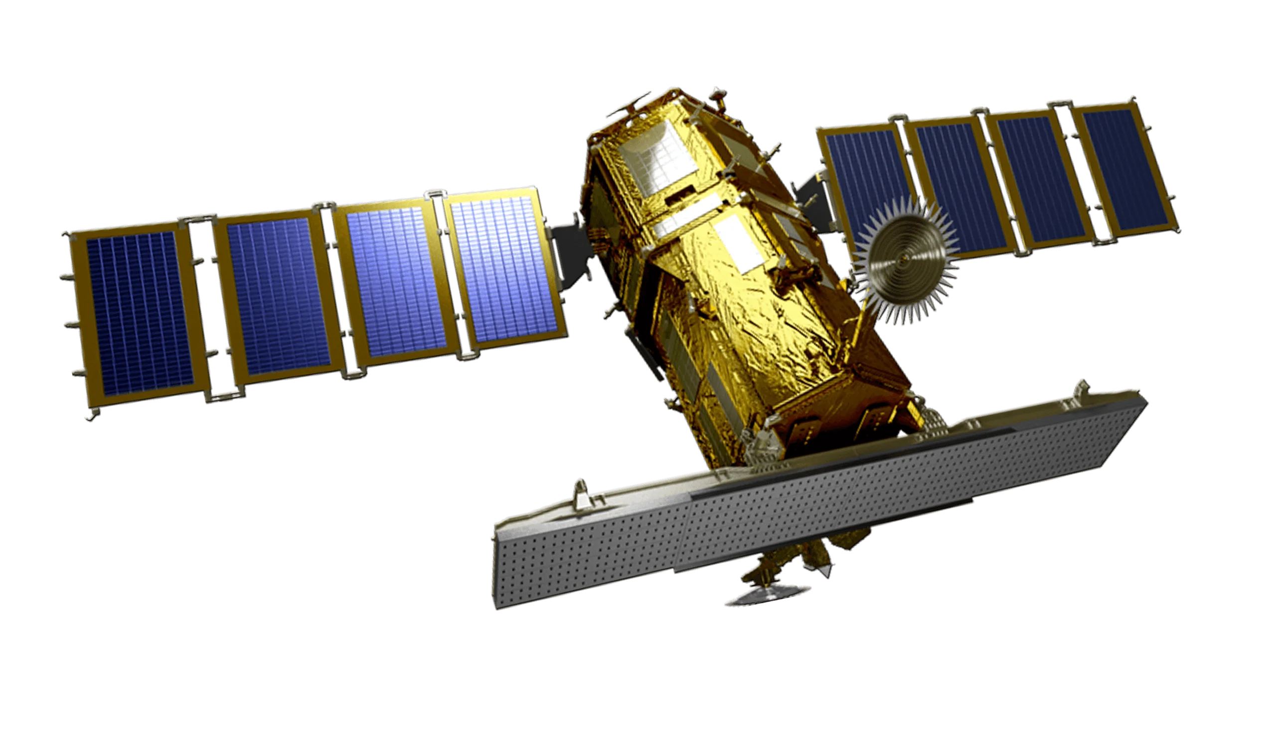
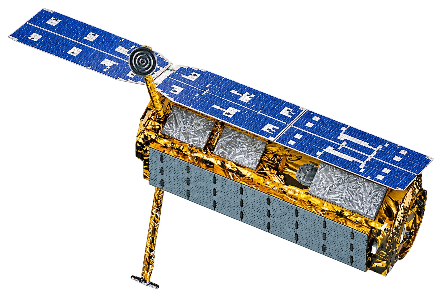
KOMPSAT-6 (Korea Multi-Purpose Satellite-6), also known as Arirang-6, is a planned X-band Synthetic Aperture Radar (SAR) satellite developed by the Korea Aerospace Research Institute (KARI). It succeeds KOMPSAT-5 as the radar member of the KOMPSAT series, doubling the best available radar resolution to 0.5 m and adding quad-polarisation capability.
SAR Capabilities
As a radar imaging satellite, KOMPSAT-6 will offer the core advantages of SAR:
- All-weather imaging - X-band radar sees through cloud, smoke and haze
- Day and night operation - Active illumination means collection does not depend on sunlight
- Sub-metre detail - 0.5 m High Resolution mode for object-level identification
- Polarimetry - Single, dual or quad polarisation (HH, HV, VH, VV) for surface and material characterisation
- Flexible geometry - Incidence angles from 20 to 60 degrees
Imaging Modes
KOMPSAT-6 is designed with four imaging modes that trade detail against coverage:
- High Resolution A - 0.5 m resolution over a 5 km swath
- High Resolution B - 1.0 m resolution over a 10 km swath
- Standard - 3.0 m resolution over a 30 km swath
- Wide Swath - 20 m resolution over a 100 km swath
Launch Status
KOMPSAT-6 was originally scheduled to launch in 2020 and later on a Russian Angara rocket. That launch was cancelled in 2022, and the satellite was re-manifested on a Vega C from French Guiana, where it will fly with the PLATiNO-1 satellite. The launch is currently targeted for late 2026 to 2027.
- Satellite bus - Korea Aerospace Industries (KAI)
- Radar payload - LIG Nex1 with Airbus Defence and Space
- Orbit - Sun-synchronous orbit at about 505 km
- Design life - 5 years
Tasking and Delivery via SIIS
SI Imaging Services (SIIS) distributes the KOMPSAT series worldwide. Once KOMPSAT-6 completes commissioning, Terrabit expects to offer it alongside KOMPSAT-5 for radar tasking and archive orders through SIIS.
Applications
KOMPSAT-6's high-resolution radar will support:
- Defence and security - Persistent monitoring regardless of cloud or daylight
- Maritime surveillance - Vessel detection and port activity monitoring
- Infrastructure - Change detection over facilities, mines and transport corridors
- Disaster response - Flood and damage mapping when optical sensors are blocked by cloud