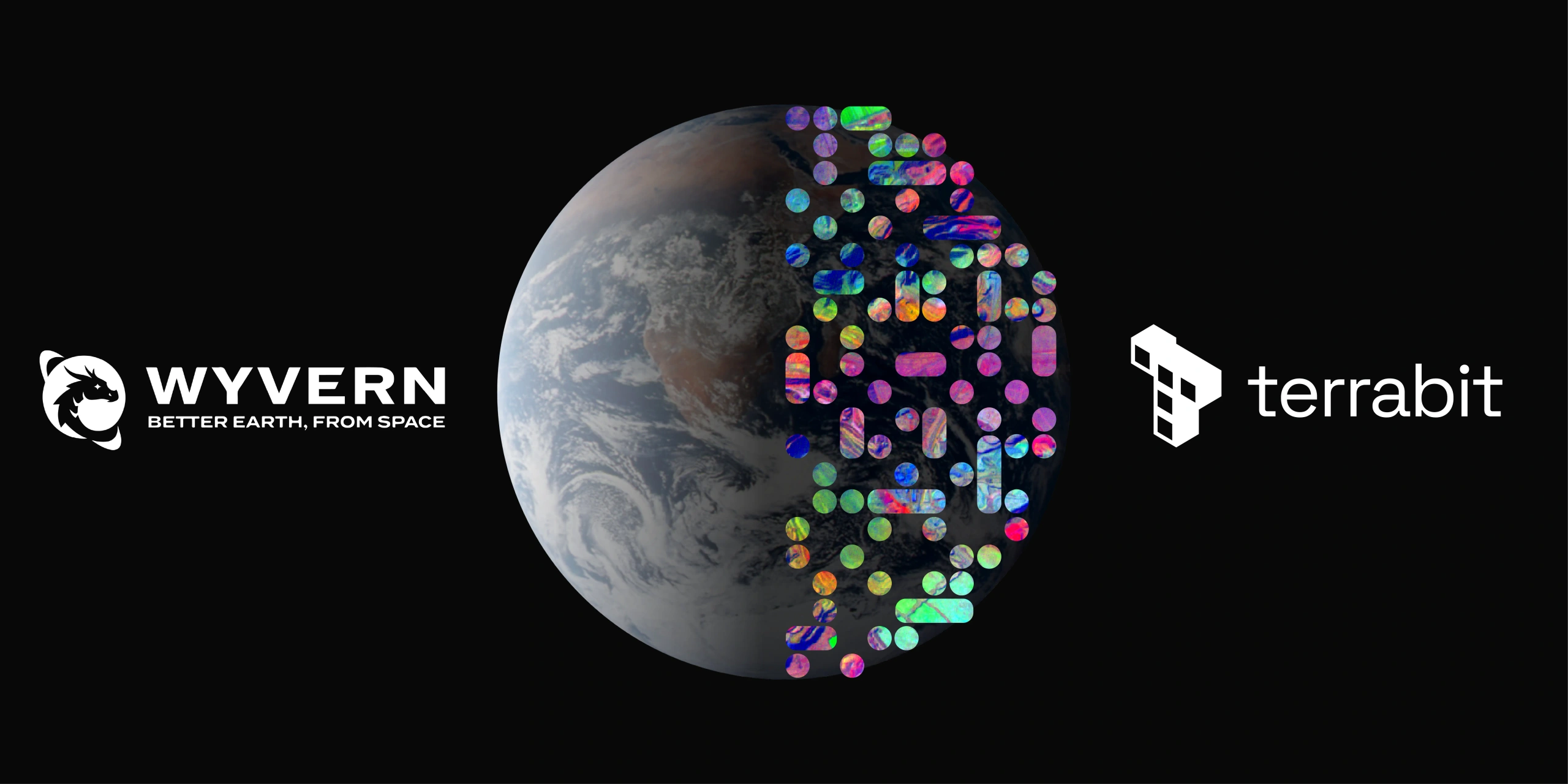
Hyperspectral imaging is changing how we understand the Earth. Terrabit is proud to supply data from Wyvern's Dragonette hyperspectral constellation, which captures data across 23 or 31 spectral bands for next-generation insights in mining, agriculture, environment and infrastructure.
This means Terrabit can now help you access hyperspectral imagery, backed by our local expertise and support team in Brisbane, QLD. If you’re new to our offerings, explore our Satellite Imagery page for delivery options and example use cases.
What You Get
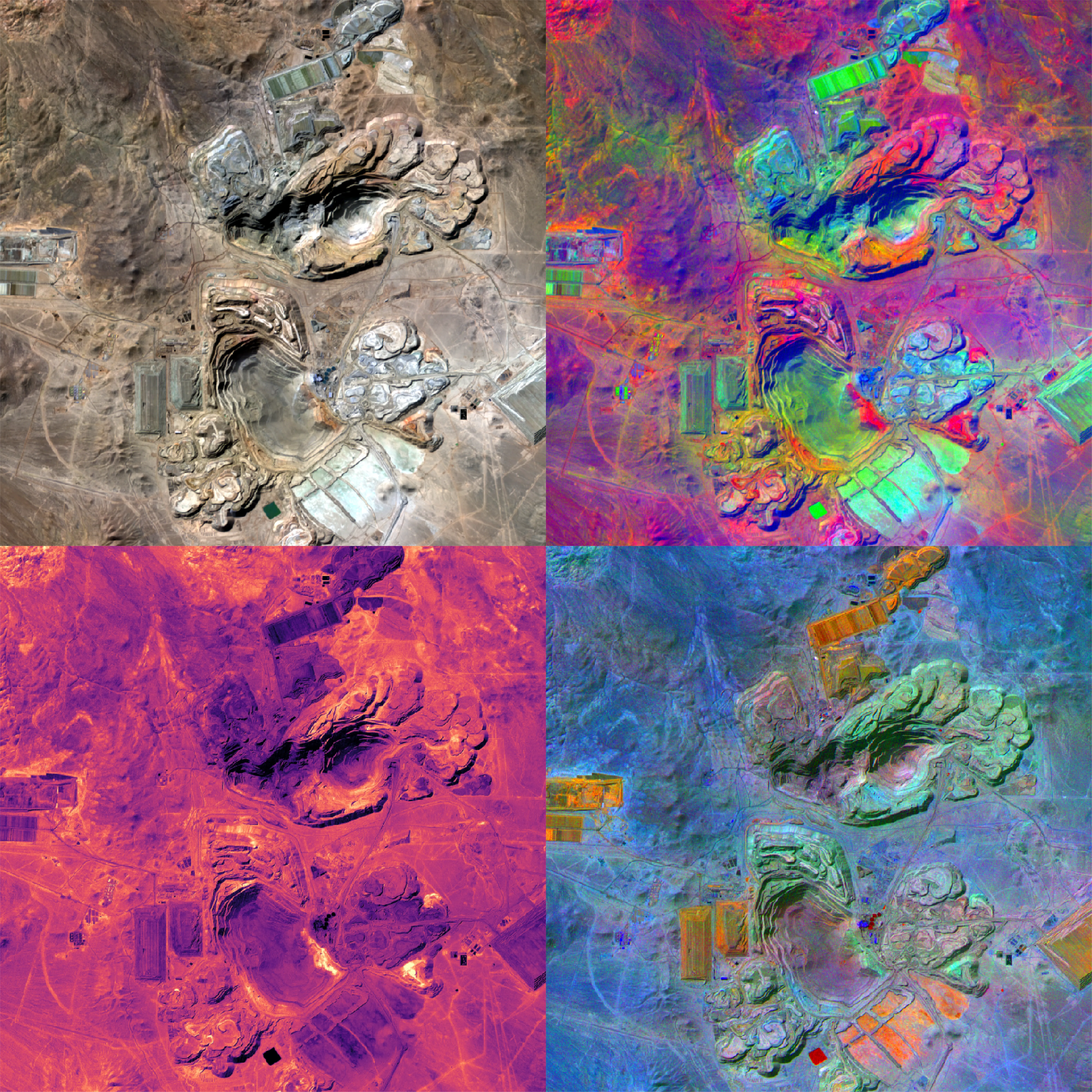
Hyperspectral Bands
Unlike traditional optical imagery, hyperspectral data captures 20+ narrow bands across the visible and infrared spectrum. Enabling you to:
- Detect subtle vegetation stress before it’s visible to the eye.
- Identify mineral signatures for exploration and rehabilitation.
- Monitor water quality and algae blooms with chemical-level precision.
- Classify materials and track changes invisible in normal satellite imagery.
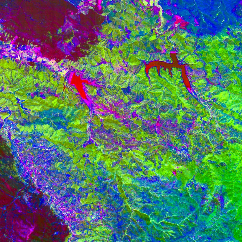
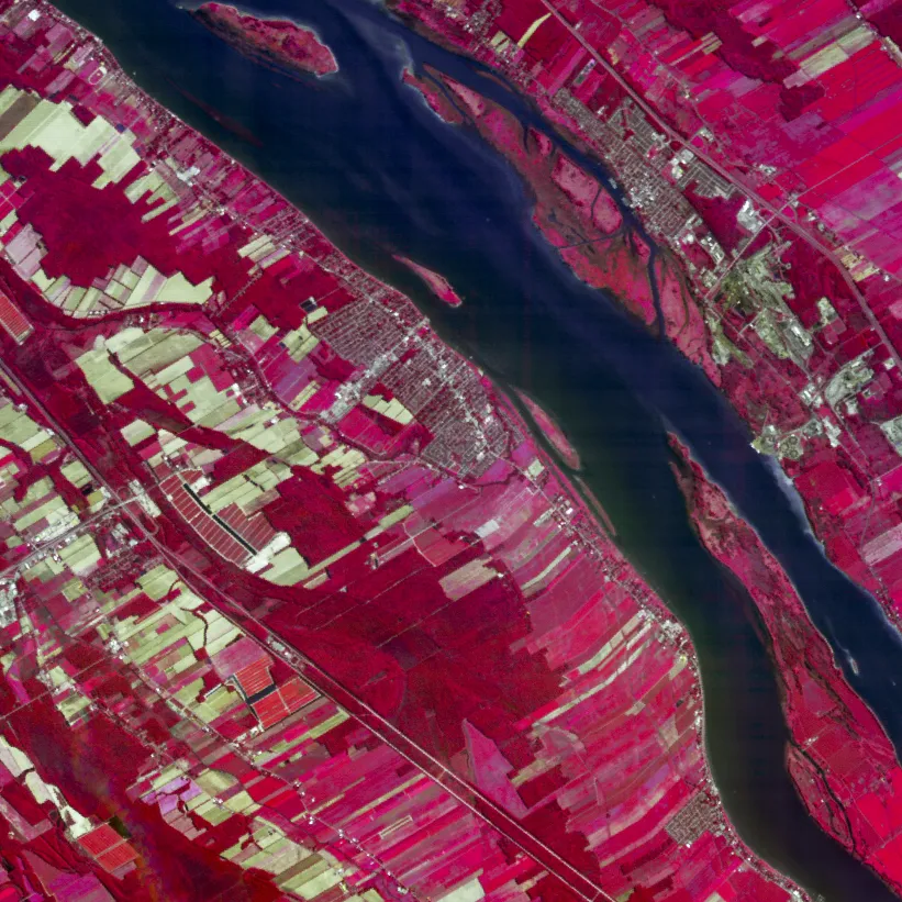
Where It Helps First
Hyperspectral imagery already delivers value in:
- Mining & Exploration – mineral mapping, soil chemistry and rehabilitation monitoring.
- Agriculture & Forestry – crop stress detection, nutrient optimisation and disease tracking.
- Environment & Water – algae bloom detection, wetland health and pollution monitoring.
- Infrastructure & Energy – material degradation and analysis.
How We Make It Actionable
Hyperspectral data is powerful, but it only delivers value when presented in a way that drives real decisions. Terrabit ensures Wyvern’s hyperspectral imagery is practical and immediately usable by providing:
- Tailored acquisition plan: We recommend the optimal spectral bands, capture parameters and revisit cadence for your Area of Interest (AOI).
- Clean, pre-processed data: Orthorectified, Top-of-Atmosphere (TOA) corrected and radiometrically calibrated imagery, ready for analysis without extra pre-processing.
- Analysis-ready products: In-house processing includes Principal Component Analysis (PCA) and decorrelation stretches, delivered in GIS-compatible formats so you can focus on detecting vegetation type, mineral signatures, water quality changes and other critical insights.
With Terrabit as your supplier, Wyvern hyperspectral imagery arrives ready for analysis-not as raw files that slow your projects. Learn more on Satellite Imagery.
Get Started
Tell us your AOI, cadence and project requirements-we’ll recommend the right satellite solution and delivery format.