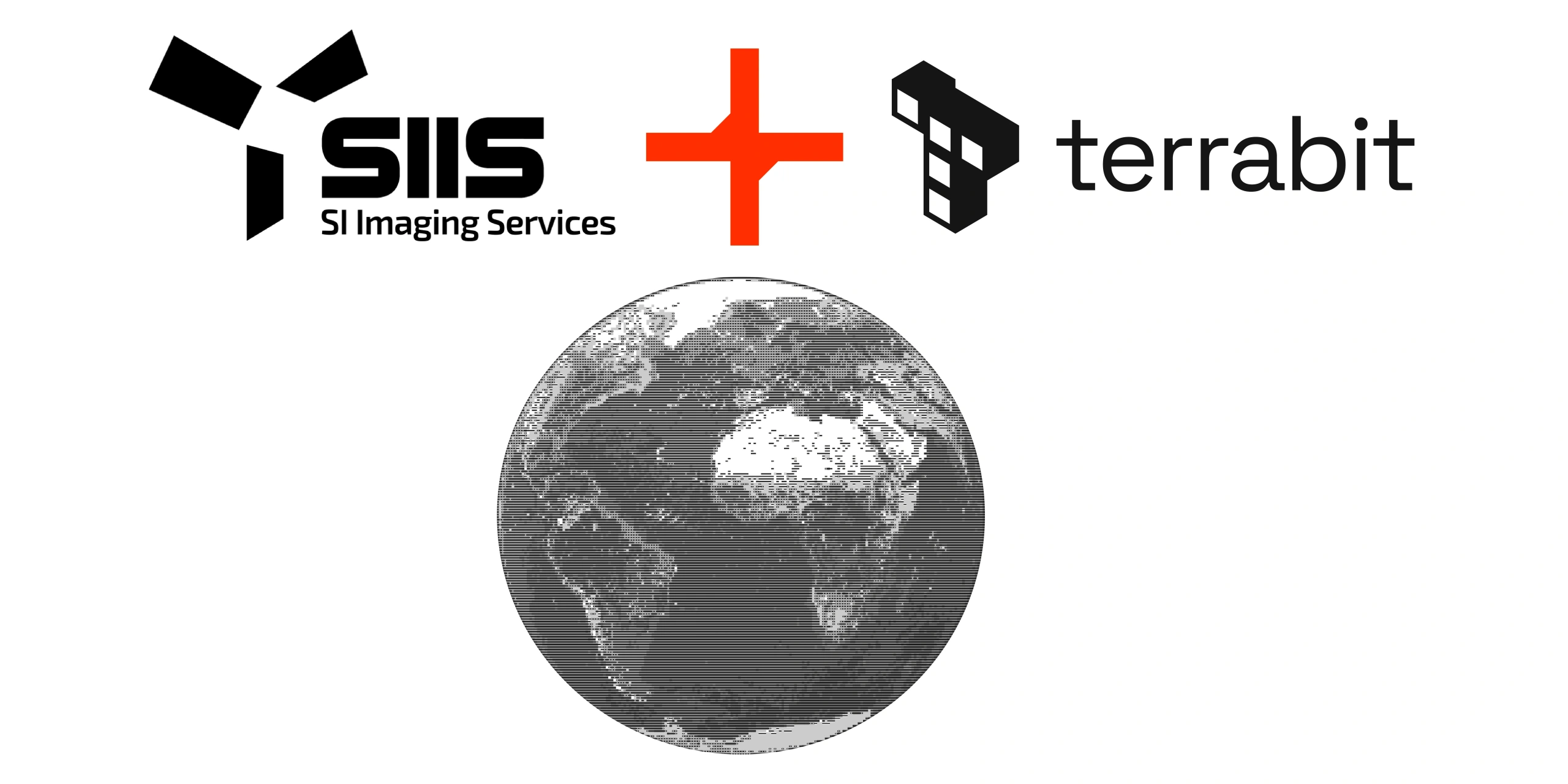
Terrabit is excited to announce a new partnership with SI Imaging Services (SIIS)-the worldwide commercial supplier/representative of the KOMPSAT satellite constellation developed by the Korean Aerospace Research Institute (KARI). This expands our access to very-high resolution imagery so your teams can monitor assets and environments with higher frequency and faster turnarounds. If you’re new to our offerings, explore our Satellite Imagery page for example use cases and delivery options.
What You Get
With SIIS, we are expanding our tasking capabilities and image archives across the proven KOMPSAT sensors. The outcome: dependable high-frequency coverage, sharp visuals for change detection, and delivery formats that slot straight into your workflows. See our Satellite Imagery page for the full menu of product specs.
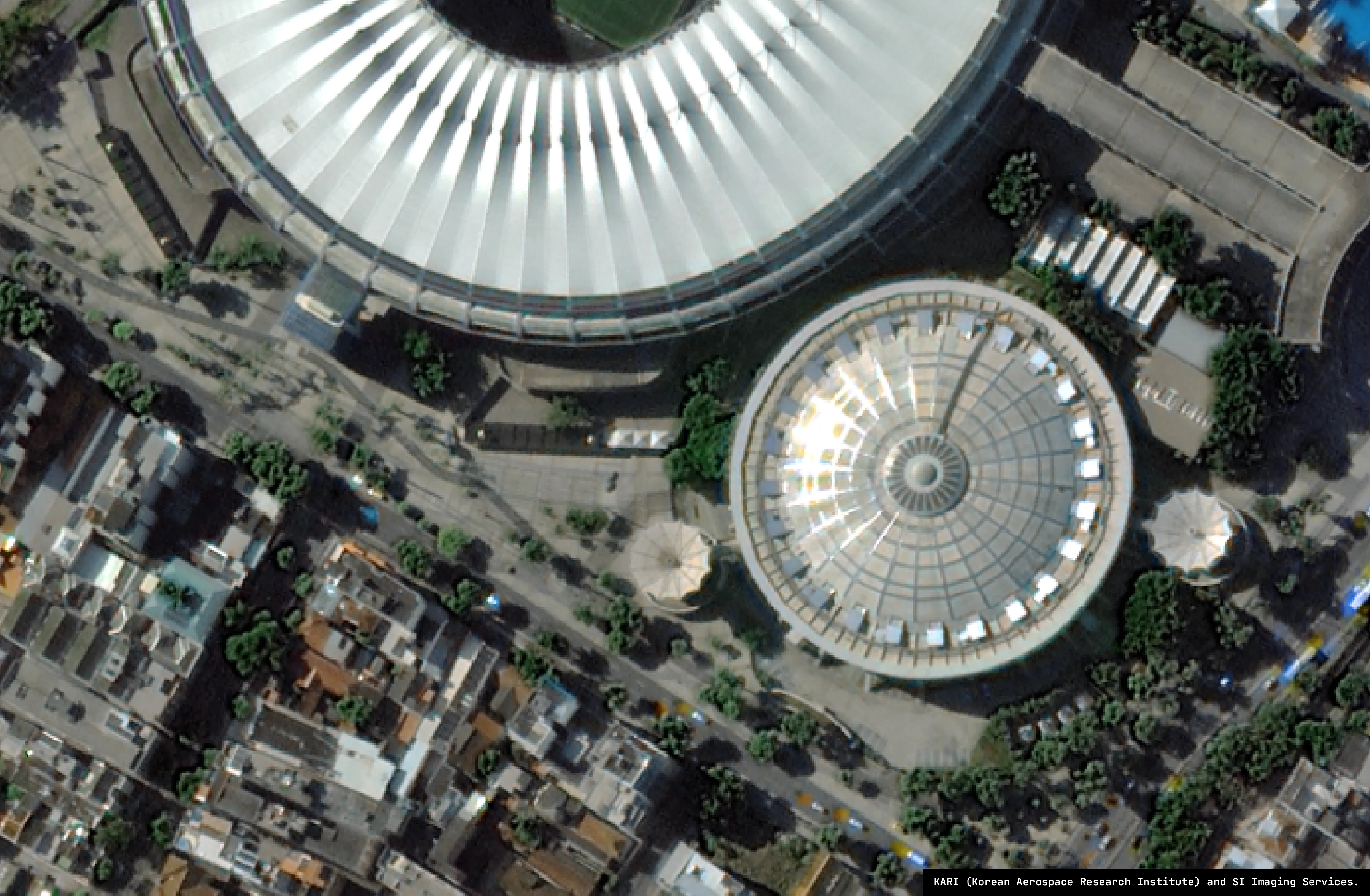
- High clarity: Identify changes to roads, stockpiles, structures, and vegetation with confidence thanks to 40cm class imagery.
- Speed + reliability: KOMPSAT-3A and KOMPSAT-3 each offer multiple revisits per week for the same area. Interested in seeing this in action? Have a look at our Satellites page.
- Delivery: Accurate Colour-balanced Orthorectified products. Pre-processed via local in-house processing, using your ground control or satellite metadata, plus optional WMTS hosting.
Where It Helps First
If your work depends on up-to-date ground truth-especially across large or remote areas. This partnership delivers faster workflow from tasking to insight.
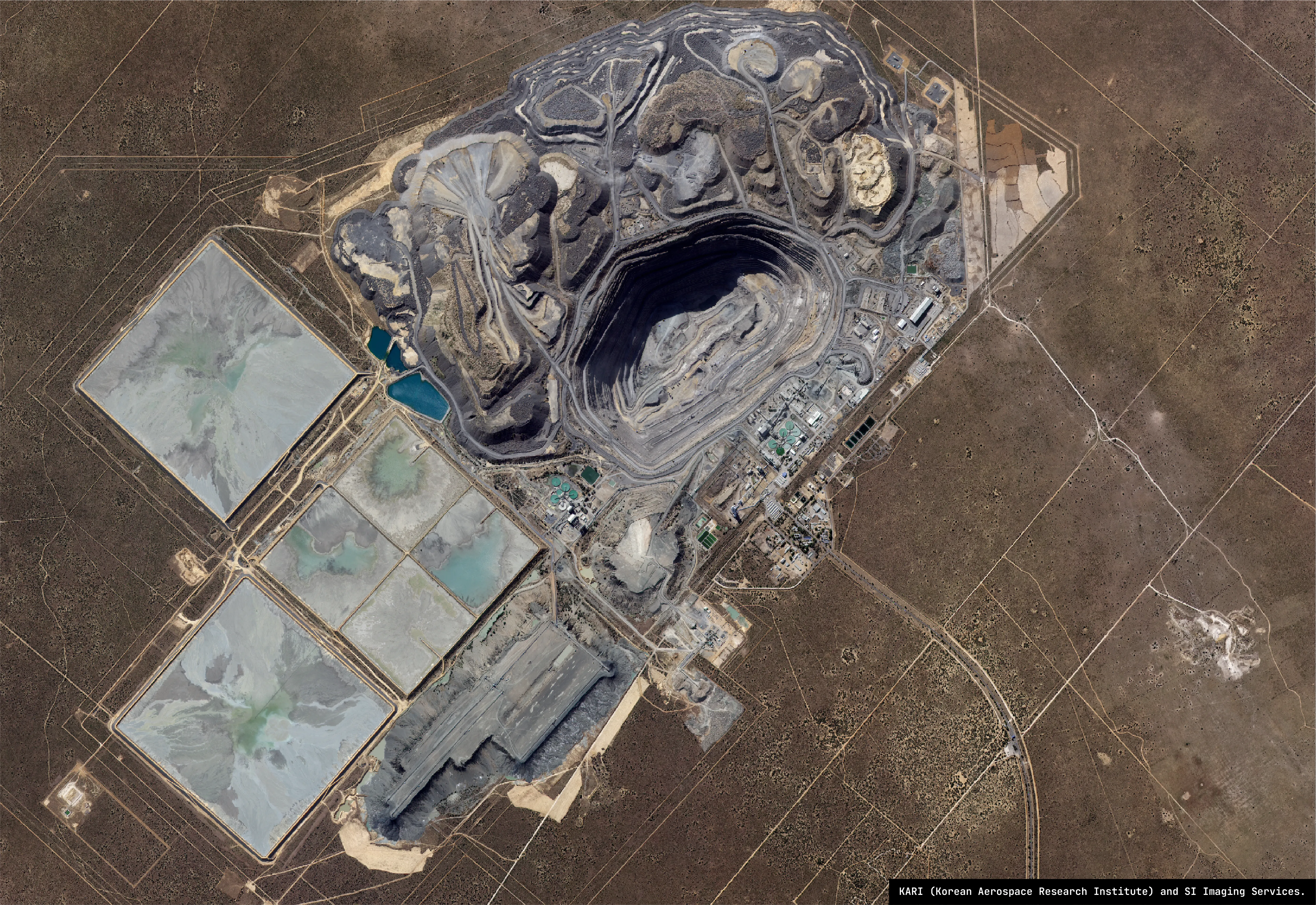
- Mining & Resources: Stockpile/change tracking, encroachment checks, rehabilitation progress.
- Infrastructure: Construction progress, corridor monitoring.
- Government & Environmental: Urban change baselines, coastal/shoreline updates and vegetation change detection.

How We Make It Actionable
Data only drives decisions when it’s easy to use. We design acquisitions and deliverables to reduce friction and increase value from the satellite products.
- Fit-for-purpose acquisition plan: We’ll recommend the right sensor, resolution, and cadence for your project needs.
- Clean delivery: Orthorectified and validated products in your preferred formats.
- Analysis-ready data, straight out of the box: We preprocess optical imagery-so it drops into your software/workflows and you can focus on outcomes. Learn more on Satellite Imagery.
Get Started
Tell us your AOI, cadence, and project requirements-we’ll recommend the right sensor plan and delivery format.