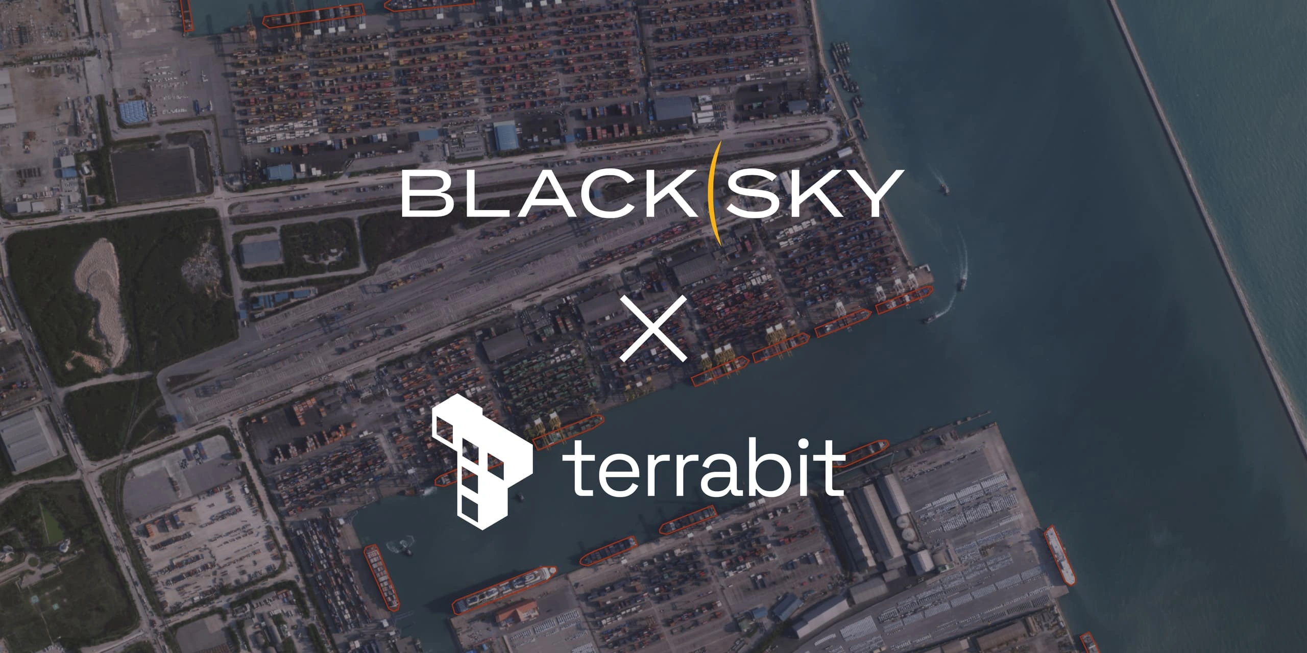
Terrabit is pleased to announce a new partnership with real-time, space-based intelligence company BlackSky. This collaboration strengthens our ability to deliver frequent, near-real-time imagery for monitoring assets, operations and environments worldwide.
What This Means for You
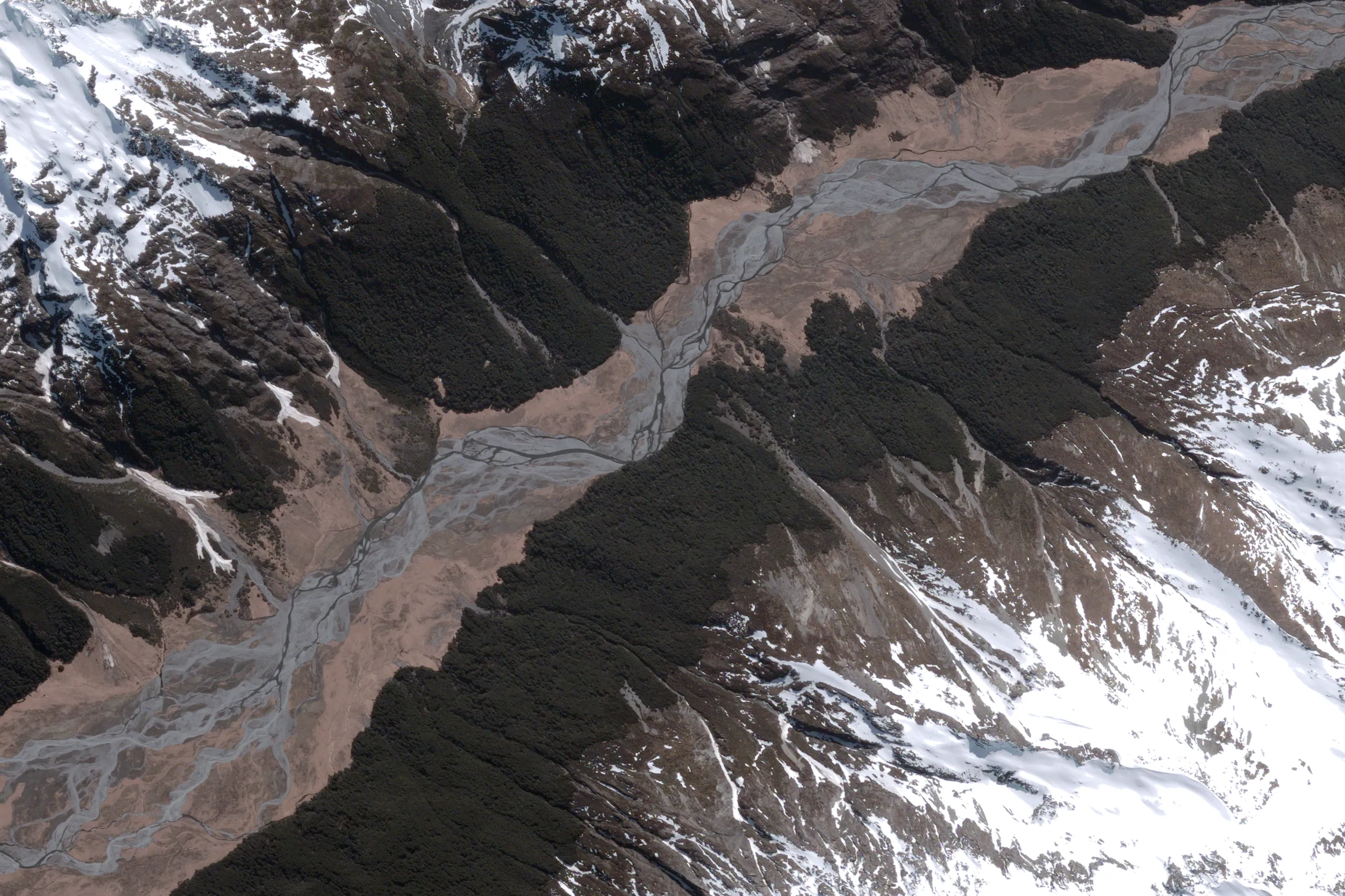
Constellation power
- Gen-2 satellites (80cm at nadir) provide quality, reliable coverage for broad-area monitoring.
- Gen-3 satellites (35cm at nadir) unlock very high-resolution detail over your most critical locations.
High-frequency access
Up to 15 revisits per day at mid-latitudes means near-real-time change detection and rapid confirmation of on-the-ground activity.
Timely delivery
Receive imagery within hours of capture. Need additional processing? Premium products arrive within days, ready for deeper analysis.
Ideal Use Cases for Rapid Monitoring
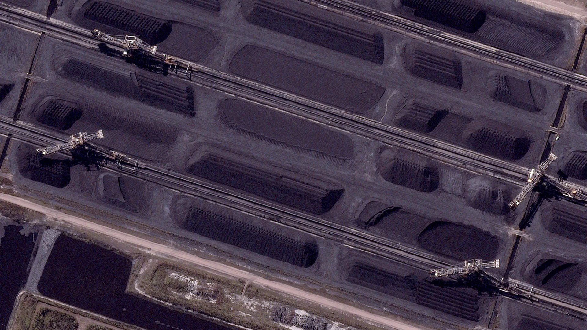
- Mining & Resources: Near-daily monitoring of haul roads, pits and stockpiles to detect change and plan operations with confidence.
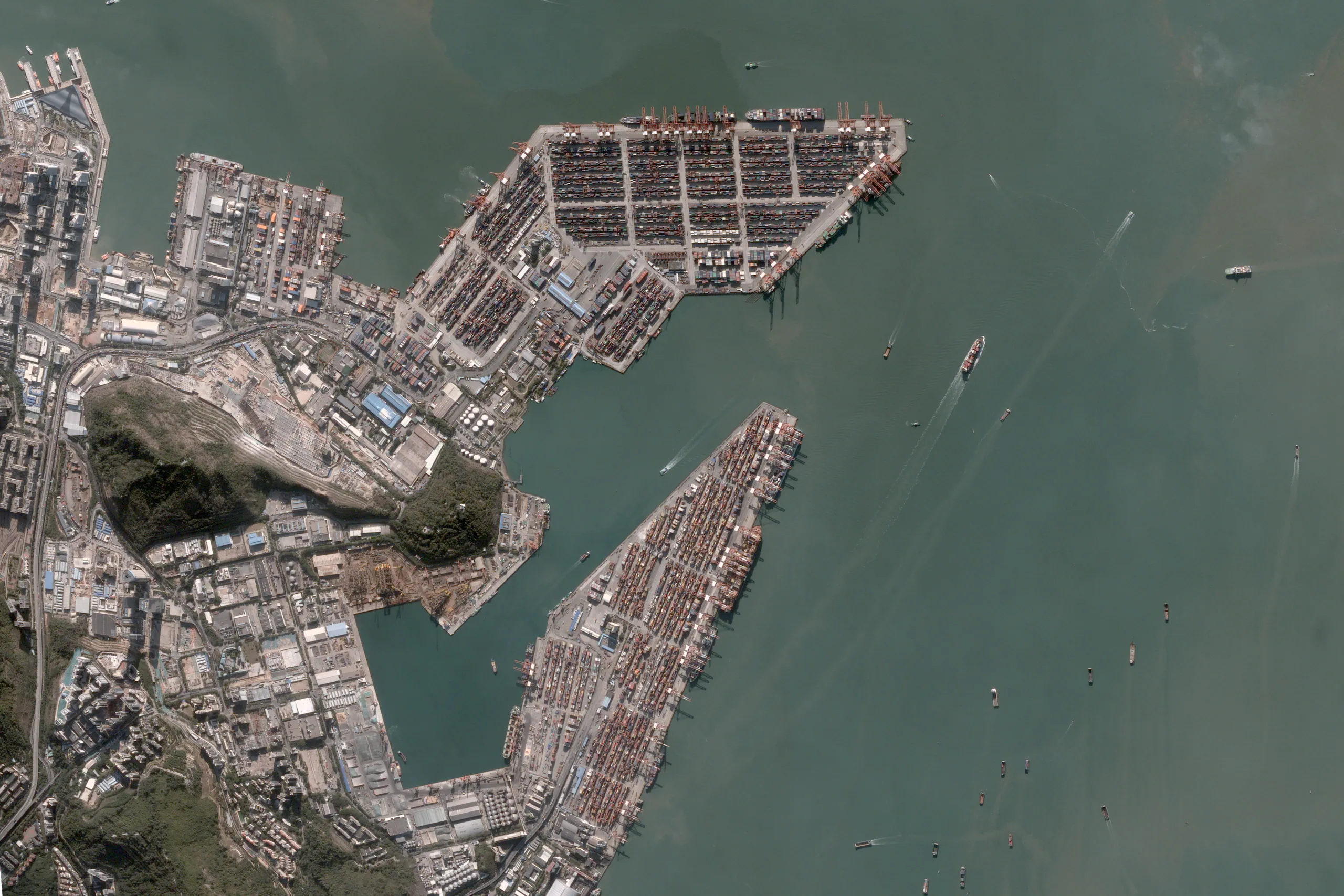
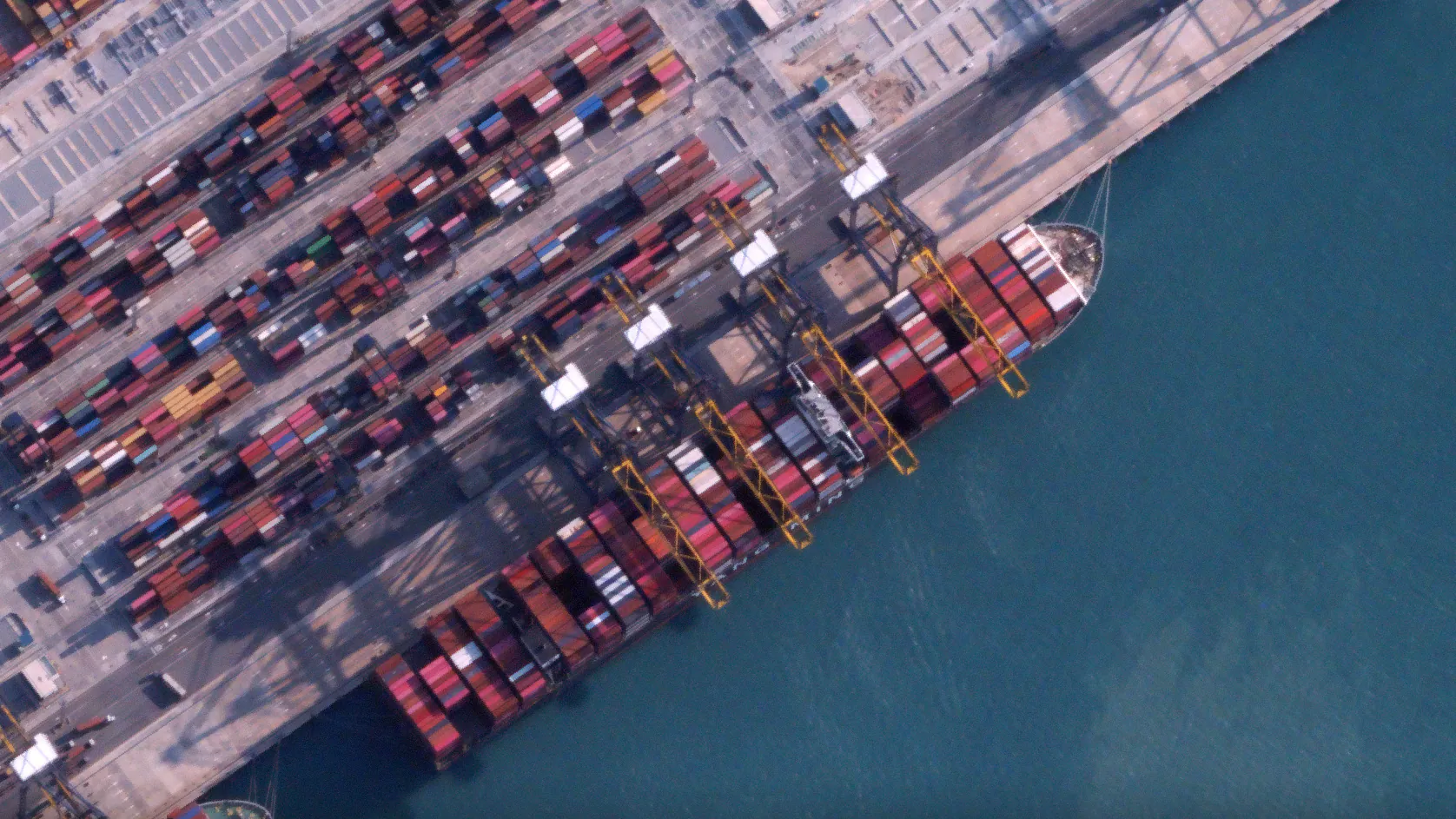
- Infrastructure: Track construction progress, logistics flows and access routes with the speed needed to respond.
- Government & Environmental: Detect encroachments, monitor disasters or assess vegetation and water quality.
- Emergency Management: Rapid imagery turnarounds to monitor active fire fronts and respond in hours-not days.
Turning Data into Decisions
Data drives better decisions - but only when it is accessible and actionable. BlackSky delivers analysis-ready satellite imagery, and Terrabit’s Albatross platform makes it seamless to task, receive and integrate high-resolution datasets into your enterprise workflows.
- Simple tasking: Define your Area of Interest (AOI) and capture schedule through our web platform. Track capture progress in real time and receive instant notifications when your imagery is ready.
- Flexible delivery: Access newly captured data in your Data Catalog immediately upon receipt, based on your preferred processing level. View Cloud Optimised GeoTIFFs (COGs) directly in the platform for visual analysis, then download or stream via WMTS for seamless integration into your GIS and enterprise systems.
Get Started
Start by specifying your area of interest and use case. Our team can work with you on a custom product and solution, or our platform-guided workflow can help determine the ideal update frequency and resolution before building a customised BlackSky monitoring plan aligned to your operational timelines and mission goals.