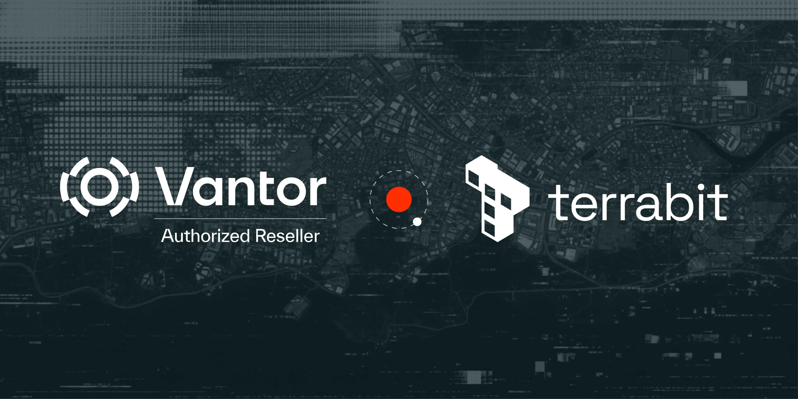
Partnership Snapshot
Brisbane Australia - November 2025 - Terrabit, a company focused on delivering very high-resolution and premium quality satellite imagery solutions, announced today that they have joined Vantor’s Partner Ecosystem. Vantor, the leading provider of spatial intelligence, and Terrabit will now serve Australia with Vantor’s products and solutions for mining, environmental and infrastructure industries.
Vantor combines software, AI, and spatial data to build a unified intelligence picture. Its industry-leading imaging satellite constellation fuels the most accurate living digital replica of Earth. These capabilities provide government and commercial customers with an unparalleled understanding of our world. Terrabit can now enable their customers to access Vantor’s products.
Terrabit will add value to Vantor’s products with additional processing, localised support and customised analytics services to deliver actionable insights for Australian customers.
"We’re excited to bring Vantor’s very high-resolution imagery products to our clients," said Simon Greig, Sales and Partnership Manager at Terrabit. "Combining Vantor’s global technology with Terrabit’s regional expertise ensures Australian projects have access to the most accurate, timely and insightful geospatial data available."
About Terrabit
Terrabit is advancing the future of geospatial intelligence through high-resolution satellite imagery and analytics. Headquartered in Australia, Terrabit delivers data-driven insight to customers across mining, environmental and infrastructure worldwide.
By combining access to the world’s most capable imaging satellites with local expertise and advanced analytics, Terrabit transforms raw data into actionable intelligence. Its solutions enable organizations to monitor change, manage resources and make confident, timely decisions in a dynamic world.
About Vantor
Vantor is unleashing a more automated, interoperable future. We’re forging the new frontier of spatial intelligence, empowering decision makers and operators with the clarity they need to navigate what’s happening now and shape what’s coming next. Our AI-powered spatial intelligence platform fuses data from the world’s most capable imaging satellites with real-time sensor feeds from space, air, and ground to create the most accurate living digital replica of Earth. The platform automates every part of the intelligence cycle-from tasking to collection to production-to continuously update and analyze this foundation at the pace of change. These capabilities provide customers with an unparalleled understanding of our world and connect the next generation of autonomous systems across the defense, intelligence, and commercial landscape. For more information, visit vantor.
Talk to Us
Ready to unlock near real-time satellite monitoring or fine-tune your imagery procurement workflow?