Turn high-resolution imagery into faster decisions that cut risk and improve efficiency.

Monitor vegetation and surface changes with high-resolution imagery - essential for environmental compliance, and land management.

Evaluate locations before site visits. Access land conditions and terrain with new and historical data to reduce risk and accelerate planning.

Stay ahead with real time satellite capture updates. Get reliable insights for proactive operations and risk management.

From hectares to continents. Global satellite reach with local processing for project-specific insights.

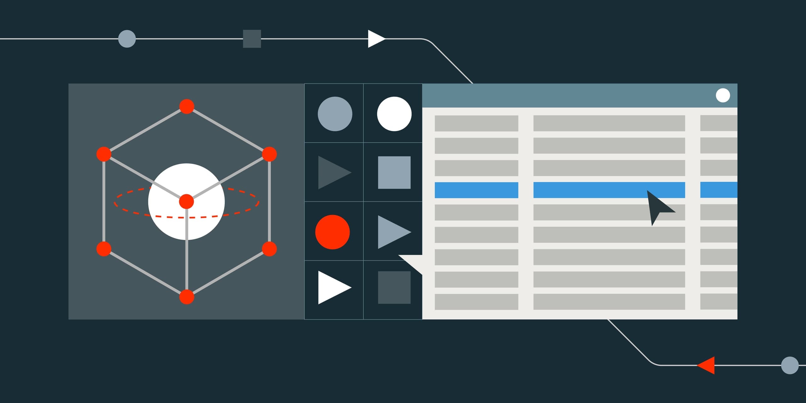
Use our imagery to build ML models. We can provide ML-ready datasets for your specific operational needs.

Have your data delivered and viewable within a bespoke portal for your organisation. Increase transparency and provide a central place for data access, eliminating data silos across your organization.
See how our end-to-end process works - priority tasking, in-house processing, hosted delivery, and custom enterprise innovation.
Priority Tasking & Intelligent Capture

Leverage our priority satellite scheduling for your critical projects, with custom tasking options that ensure you get the imagery you need, when you need it.
Unlock value at every stage of the mine lifecycle with satellite imagery for smarter, faster decisions from exploration to rehabilitation

Access a comprehensive satellite network tailored to your project requirements through our unified platform.


Latest insights and announcements from our team